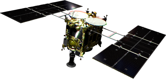
At 4:06 UT (13:06 JST) on December 4, 2015, the southern hemisphere of the Earth was imaged using the Thermal Infrared Imager (TIR) onboard the Hayabusa2 spacecraft. The TIR snapped the pictures as Hayabusa2 was pulling away from the Earth after the gravity assist, in which the planet's mass was used to change the spacecraft's trajectory towards Asteroid Ryugu.
The image was taken at a distance of 340 thousand kilometers from the Earth, with the Sun-Earth-Spacecraft angle at 52° south from the ecliptic plane. Comparing these images with those taken by Hayabusa2's ONC-T camera, we can see that the Australian Continent is hotter than the surrounding ocean, while the Antarctic Continent is colder. The huge clouds of atmospheric vortices seen in these thermal images match the features already seen in the ONC-T image, and also appear on the night side which was obscured for the visible imager.
-
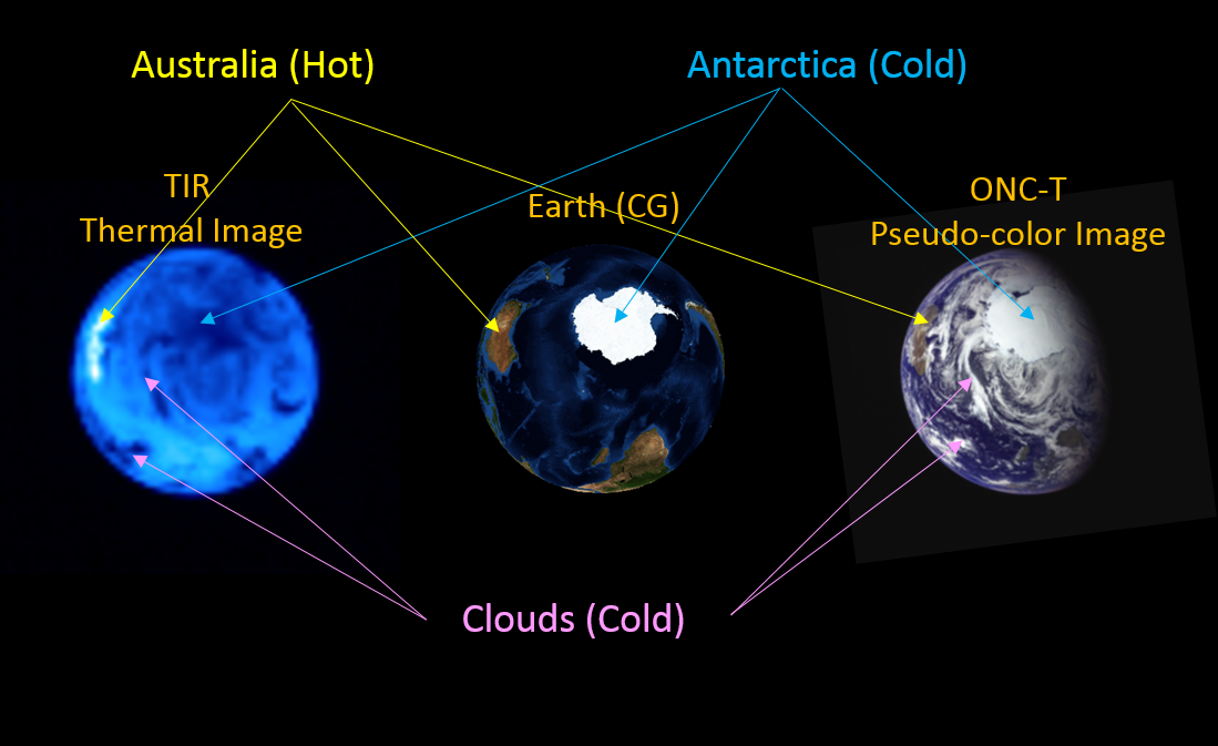 Figure Left : Thermal image of the Earth taken by TIR. Center : the simulated image of the Earth at the same time. Right : false color image taken by ONC-T just after TIR took the thermal image
TIR is a thermal imaging camera that takes an image of the thermal emission from the surface of a target body in 10 micrometer wavelengths. TIR has been developed and operated in cooperation with Japan Aerospace Exploration Agency (JAXA), Hokkaido University, Rikkyo University, Chiba Institute of Technology, University of Aizu, Hokkaido University of Education, National Institute of Advanced Industrial Science and Technology (AIST), National Institute for Environmental Studies (NIES), National Institute of Information and Communications Technology (NICT), University of Tokyo, Graduate University for Advanced Studies (SOKENDAI), German Aerospace Center (DLR), Max-Planck Institute for Extraterrestrial Physics (MPE), The Open University, UK.